What is an Estuary?
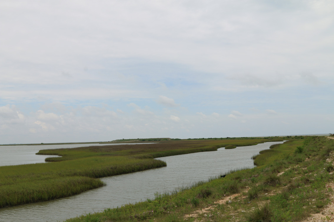
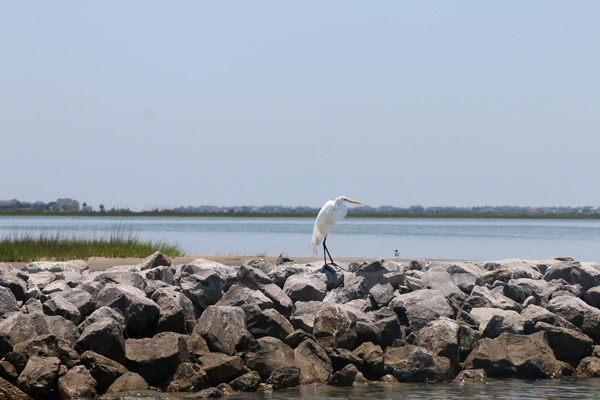
An estuary is an area where freshwater flowing from rivers, bayous, and streams blends with salty seawater. The mixing of the two kinds of water results in a rich environment for an abundance of plants and animals. Many marine organisms—such as shrimp, oysters, crabs, and numerous fish species—find food and shelter in the estuary during their juvenile phases.

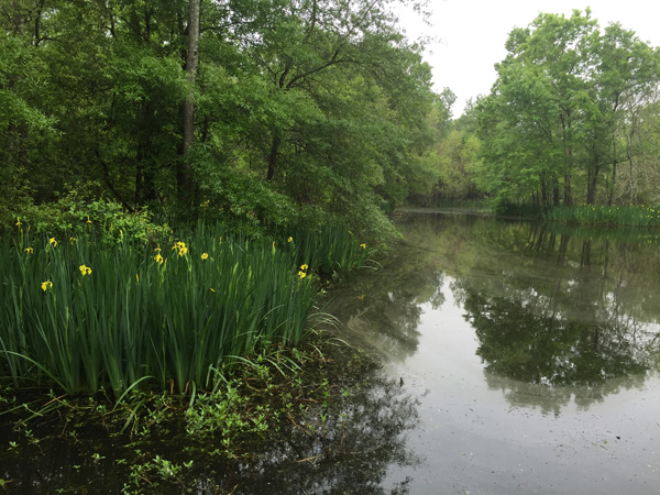
The Galveston Bay estuary is a rich ecosystem featuring many different types of habitat, such as:
- prairies,
- bottomland forests,
- seagrass meadows,
- marshes, and
- oyster reefs.
This diversity of habitats is why the Galveston Bay estuary is one of the most productive estuaries in the U.S.
About the Galveston Bay Estuary

Galveston Bay is the largest of 12 estuaries in Texas, and the seventh largest in the nation. The western side of the Galveston Bay estuary is adjacent to one of the most heavily urban, industrialized areas in Texas. The eastern side remains largely rural. Approximately 5.4 million people live in the five counties surrounding Galveston Bay, according to the 2016 U.S. Census.
Galveston Bay, its bayous, and diverse natural features make this region geographically unique, provide many recreational opportunities, and play an essential role in maintaining our quality of life. It is composed of four major sub-bays: Galveston, Trinity, East, and West bays. While Galveston Bay’s combined area is 384,000 acres or 600 square miles, it is very shallow, averaging only 7 feet in most places. It is also surrounded by 232 miles of shoreline.
About the Galveston Bay Watershed
A watershed is the area of land that drains into a water body. In the case of Galveston Bay, the entire watershed is composed of all the smaller watersheds of its tributaries: the Trinity River, the San Jacinto River, all of the creeks and bayous that feed into the rivers or directly into the bay, plus land that drains directly into the bay. The estuary’s health is directly impacted by the quantity and quality of freshwater draining from its watershed.
The watershed that drains into Galveston Bay covers approximately 24,000 square miles, accounting for nine percent of Texas’ total square mileage. The watershed reaches as far north as the Dallas-Fort Worth area, draining to the Trinity River, which ultimately flow into Galveston Bay. It encompasses parts of 44 Texas counties and is divided into two portions: the upper portion and the lower portion.
The lower Galveston Bay watershed is defined as the 4,000 square-mile area draining to the bay downstream of two major impoundments: Lake Houston on the San Jacinto River, and Lake Livingston on the Trinity River. The lower portion of the watershed more directly contributes to water quality in the Galveston Bay system than does the upper Galveston Bay watershed. It is within this lower watershed that the Estuary Program has focused its efforts.

For more information on Galveston Bay, visit the Regional Monitoring Portal.
